on Oct 28th, 2006
South Island Tour Part 2
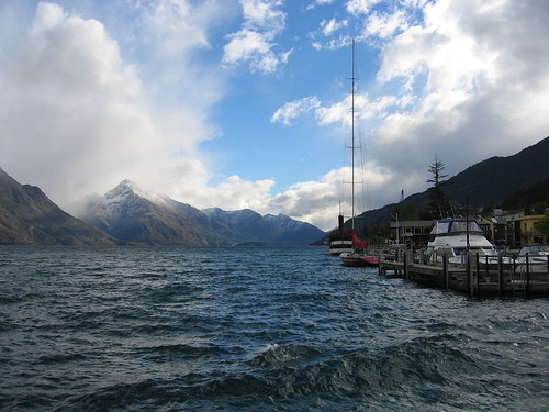 Photos! 135 of them, pared down from over 500. I haven’t made it to comments yet, but those will be forthcoming slowly but surely. The standard photo set format can viewed as usual, but I’ve also ‘geotagged’ these photos as well. This is a relatively new, very cool Flickr feature that lets you attach coordinates to each photo and have them displayed on a map. To get started visit:
http://www.flickr.com/photos/kalafut/sets/72157594348060382/map/
Drag the map and zoom in to various areas of NZ with your mouse (double click or mouse wheel) and notice how the little map markers split apart (it can take few seconds to update). Click on one of the bubbles and browse photos from that area. And if you want to see everyone’s photos for that area, click the “Clear All” link to remove the filter.
At first this feature sounded a bit gimmicky, but after sorting through dozens of NZ of lake photos that all look alike, I’m starting to appreciate geotagging 🙂